
David Quarmby probably didn’t realize he was stepping on a political landmine. Quarmby is the architect of London’s transit planner and operator, Transit for London, and he thought it sounded reasonable to suggest earlier this week that Toronto’s bus, streetcar, and subway operator should be folded into a regional operator. The problem is, this is very much a live issue in Toronto, with all sorts of people proposing that various individuals or bodies be given authority over transit planning instead of the people currently doing it.
Now, Quarmby’s not a crazy person: plenty of cities have transit services that cross city lines, and naturally enough have to be planned to take into account the needs of different parts of the metro area. But Toronto’s recent (and not-so-recent) history makes this a fraught question.
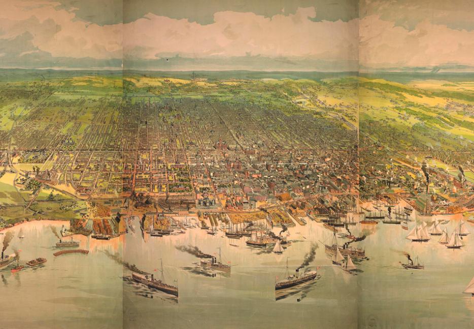
When the borders of what is now the City of Toronto were drawn—as Metro Toronto, in 1953—it amounted to the vast majority of urbanized space in what we now call the Greater Toronto Area (and still included operating farms). The question of who should operate “regional” transit was redundant: the TTC was the only operator that mattered.
Sixty-one years later, not so much. As recently as the 1980s, the region’s population was still overwhelmingly within Toronto, but the sprawl into Mississauga, Brampton, and the rest of the onetime farmland surrounding the city has changed all of that. Toronto now makes up less than half of the population of the GTA. (“Old Toronto,” the part of the city irredentists occasionally hope will be de-amalgamated so they never have to be governed by Rob Ford ever again, is even less significant.)
But even if the impulse to secede from the suburbs wasn’t insulting and backwards-looking, it would still be wrong: the amalgamation forced on the City in 1997 had the same basic logic as the creation of Metro a generation before. The city is a single economic unit anyway, and might as well be governed as one. The problem is that now, the “single economic unit”—the one that’s relevant to Quarmby’s thinking—includes not just the 416, but large parts of the suburbs around it. (GO rail service extends as far north as Barrie, but that might be stretching the definition of the Greater Toronto Area.)
This is a legitimately serious matter for municipal governance across the world: trying to draw lines around cities in North America since the end of World War II has been an exercise in hitting a literal moving target. The rapid growth fuelled by cars, population growth, and an appetite for larger homes pushes the urban fringe a little bit further each year. (This continues despite the boom in urban living.) Historically, it’s been futile to try to define the “ultimate” borders of a city, or a metro area.
Now, though, that may be changing. As cities intensify in their cores, the growth at the fringes has been slowing since the 1990s. Any number of theories have been proposed for why this is the case—gas prices, land-use policies, and the decline in crime rates among them. The simpler explanation may simply be that cities across North America have hit Marchetti’s Wall.
(In 1989, the Venetian physicist Cesare Marchetti posited that, no matter what technology was available, people have only ever budgeted about an hour for their daily commute, with the usual error bars. So whether you’re a motorist or a Roman plebeian, people tend not to live more than 30 minutes, plus or minus, from their workplaces. The theory is holding up surprisingly well.)
The car was a massive change in how people got around, and it’s no mystery that it would massively reshape and expand our cities, but fears that our cities could just keep sprawling forever may have been misplaced. Instead, across the continent, cities that started sprawling at the same time as postwar wealth started growing meant more cars driving to more suburban homes; now, we’re hitting all the limits of this model at about the same time.
What this means is we should be skeptical of any one city claiming to have an urban rebirth just because it got some policy right. With cities as diverse as Boston and Houston seeing people moving back into their cores, the idea that any one policy is responsible is questionable.
This also means Quarmby and people like him are right: it’s totally reasonable, as our cities reach what’s likely to be close to their final borders, to ask which level of governments should do what. Toronto City Council may not, in fact, be best suited to make planning decisions that are relevant to the 4 million people outside Toronto’s city limits. But lately, in this town, I wonder what level of government actually is.